
Identifying city borders on Google Maps is important for different purposes, from urban planning and real estate to travel and local governance.
Today, I’ll show you how to find them easily!
How To View City Borders on Google Maps
Google Maps doesn’t show the borders of a city by default. Here’s how you can activate them:
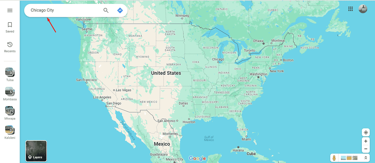
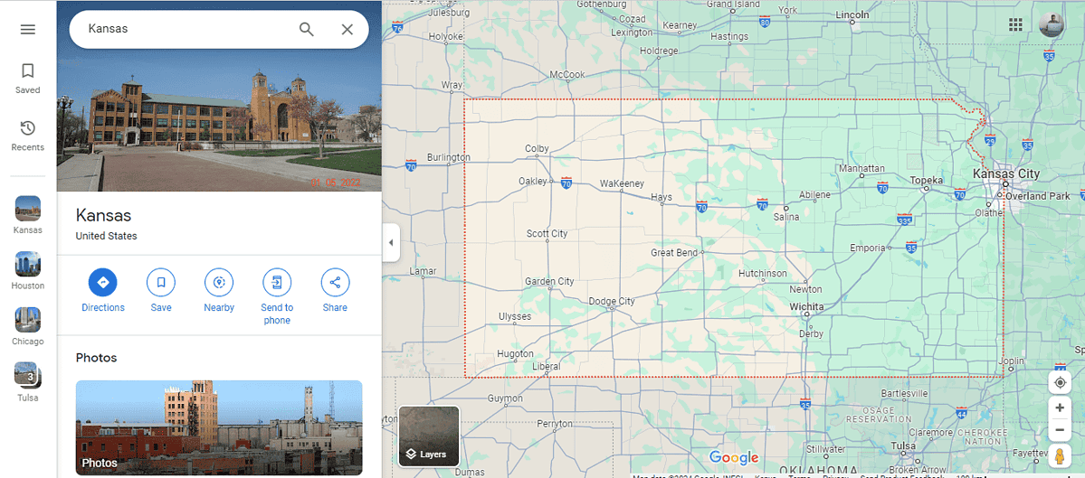
1. Open Google Maps either on your web browser or the app on your smartphone. I’ll use a web browser.
2. Enter the name of the city whose borders you want to view in the search bar at the top of the page or app. Press Enter or tap on the search icon.
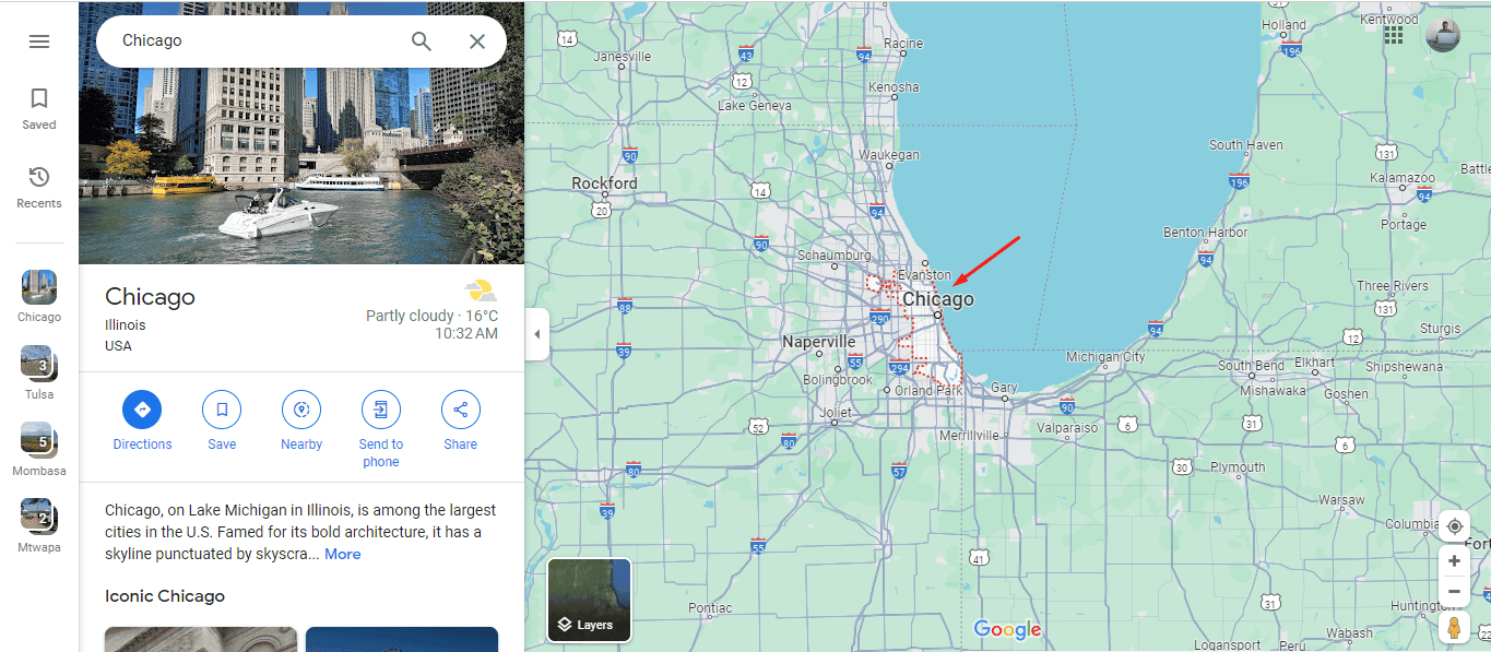
3. Once Google Maps locates the city, it often highlights the entire area with a dotted or solid line that shows the city’s borders. This outline is usually visible at certain zoom levels.
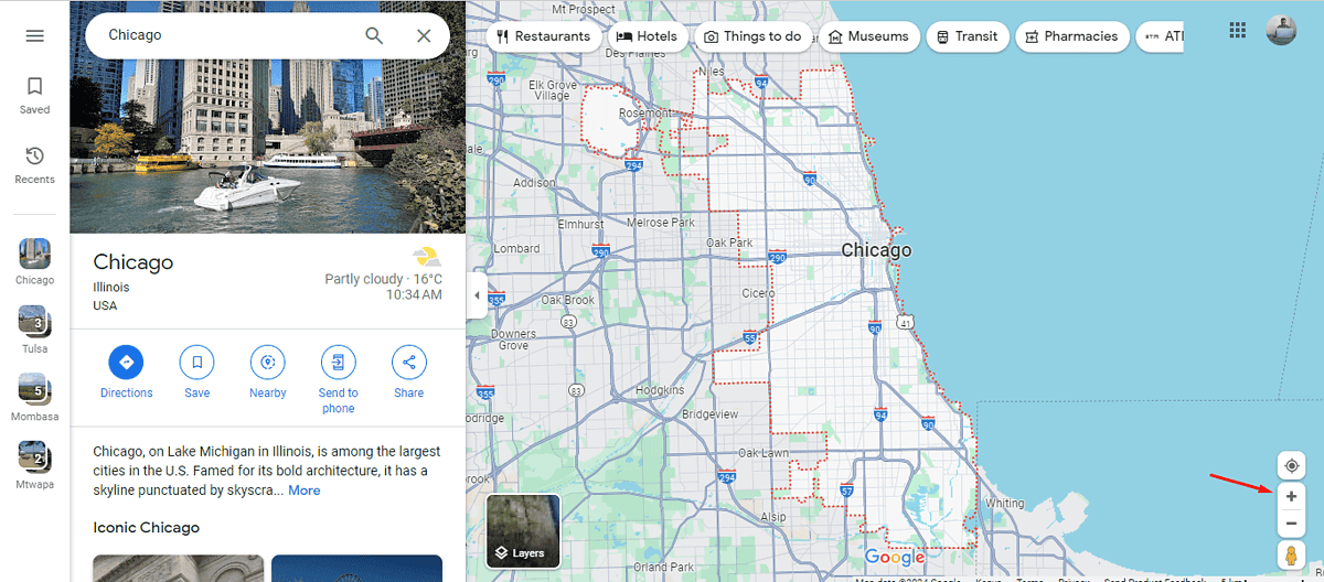
4. If the borders aren’t visible immediately, try zooming in or out. On the desktop, use the “+” and “-” buttons to adjust the zoom, or pinch in and out on your mobile device.
You can also check the borders of other cities by repeating the procedure.
How To See Multiple City Borders at Once
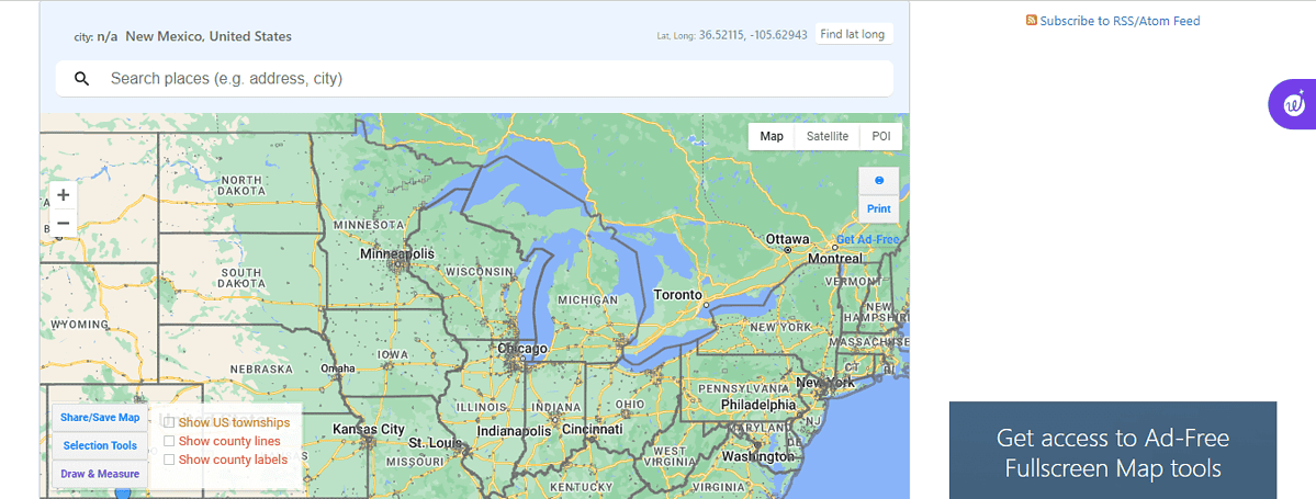
With Google Maps, you can only view one city at a time. However, you can view several city borders using a third-party website like randymajors.org. Here’s how to do it:
- Visit randymajors.org on your browser.
- The site will automatically display all city borders.
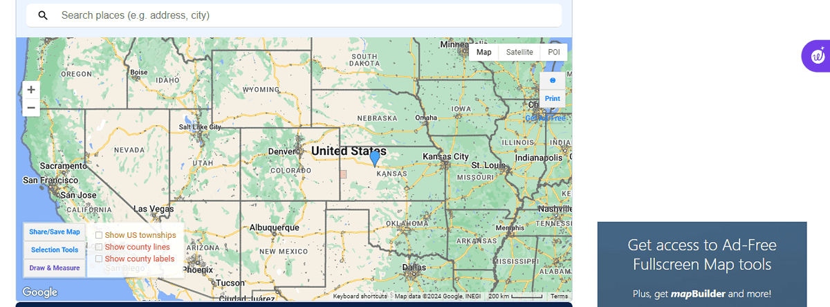
- You can view other city borders by placing your mouse on the map, pressing and holding Alt, then dragging your mouse.
While Google Maps is a helpful tool for identifying city borders, its visibility and accuracy can vary. You can also see property lines and county lines.