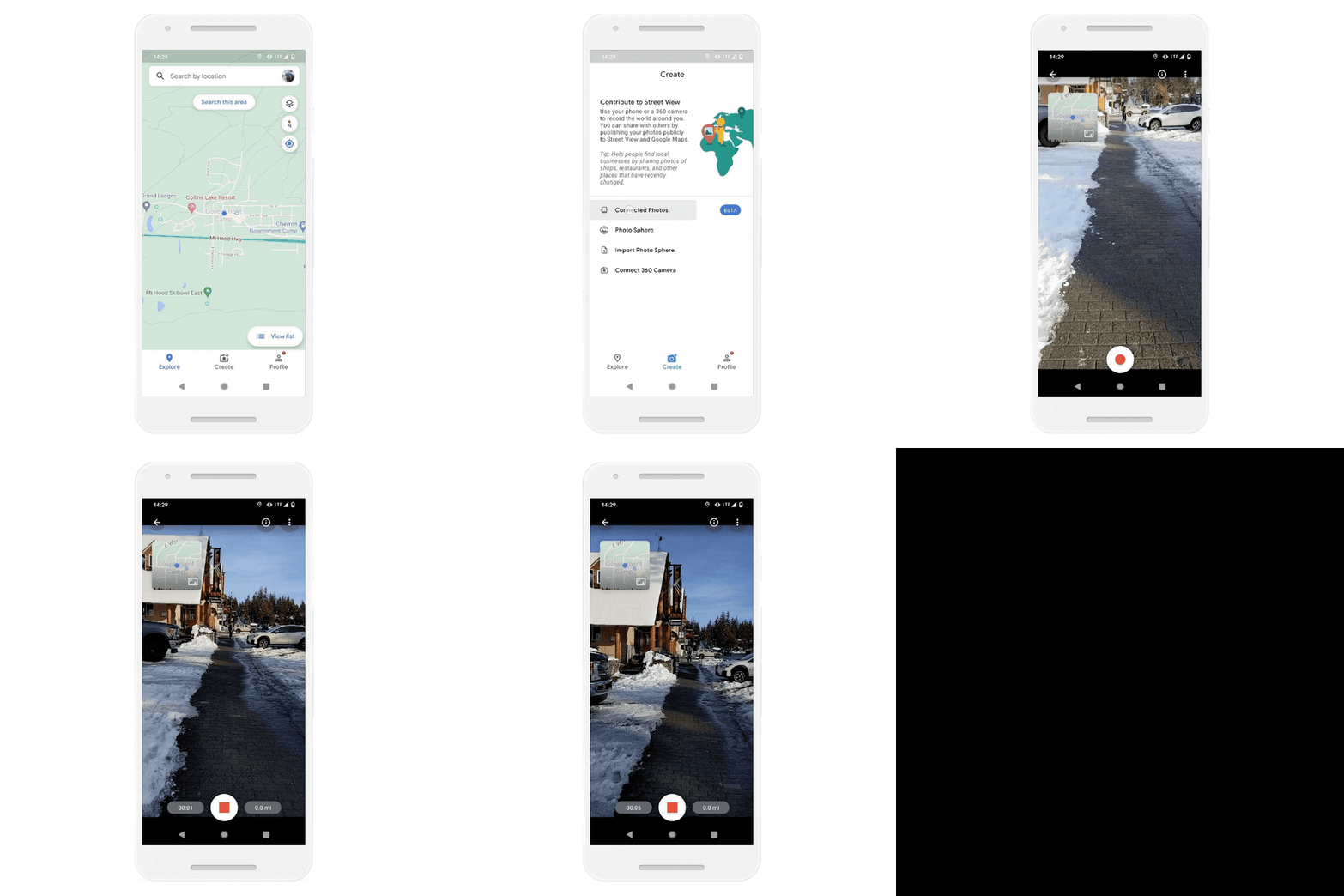
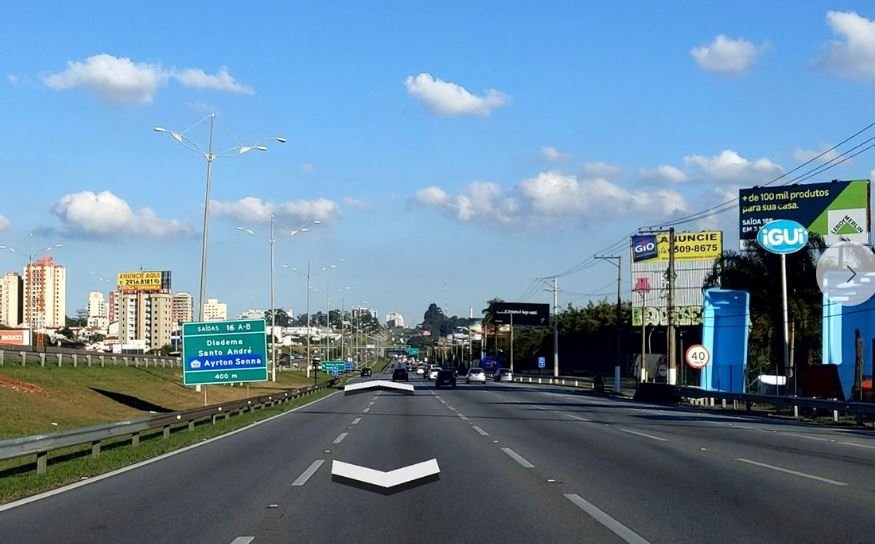
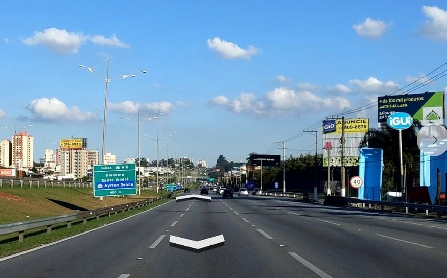
Google today announced a new feature in Google Maps that will allow anyone to share their own Street View imagery of any location. Using the new connected photos tool in the Google Maps Android app, you can record a series of connected images as you move down a street or path.
Here’s how this feature works:
- After you record your images and publish them via the Street View app, Google automatically rotate, position and create a series of connected photos.
- Google then place those connected images in the right place on Google Maps, so your new Street View can be found in the exact location where it was taken for others to see and explore.

Feature availability:
The connected photos beta feature is now available for people using the Street View app with an ARCore-compatible Android device in Toronto, Canada, New York, NY and Austin, TX, along with Nigeria, Indonesia and Costa Rica—with more regions on the way soon.
Source: Google

